
So, I toyed around with some novel ideas. First, I made a planet that was one big land bridge:
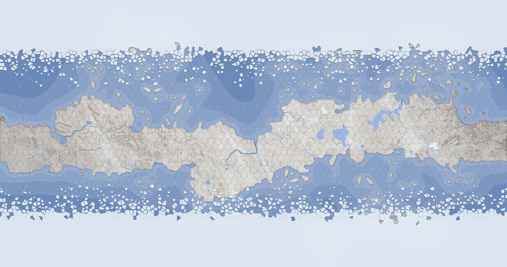
The entire world is connected as one giant land mass. It has a lot of writing potential. People could make long pilgrimages across the world for one reason or another, archaic humans or other primitive species could trek across it to migrate, and with the vast polar shelves, there's also a lot of potential for things like sailing in icy seas, as well as exploration of the polar regions themselves.
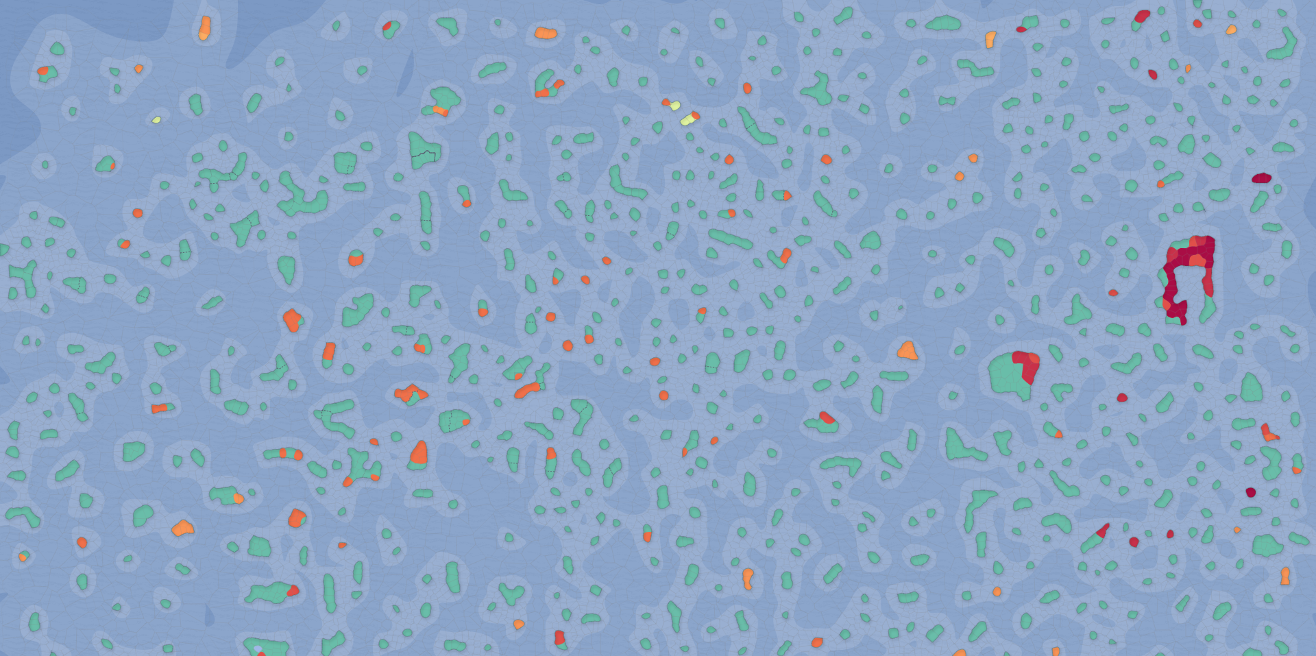
Next, I made this island planet. The idea is that the entire planet is composed of islands. There are no large continents of any kind, so naval travel is paramount in such a world. It's perfect for a pirate story.
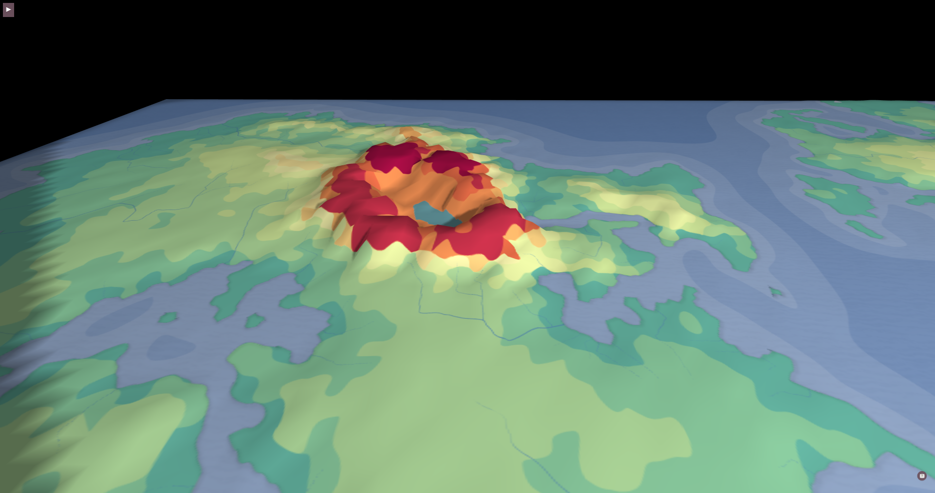
This next one is a bit extreme, but perfect for an apocalyptic story: a planet with a super massive volcano!
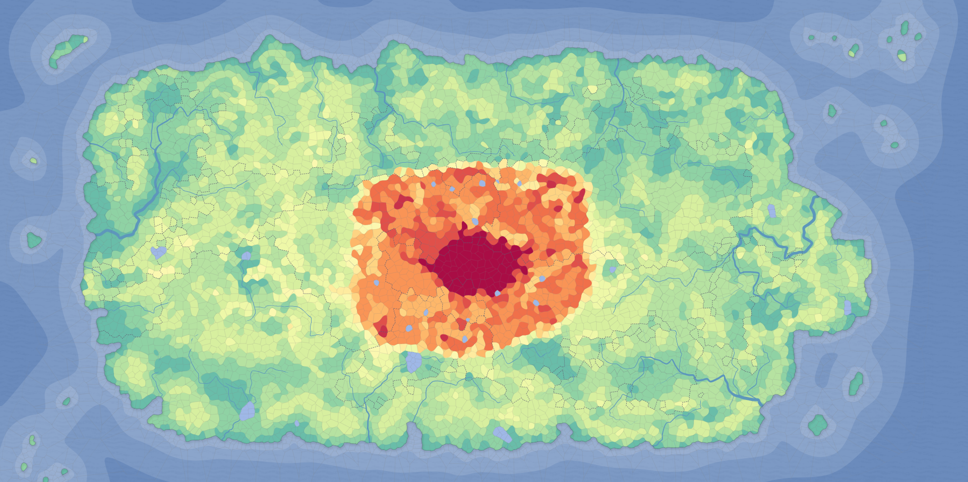
Is it dormant? Is it active? There's room for caves all around it. Naturally, this makes for a tropical environment across the entire planet. The volcano has lakes on it as well, which could be interesting.
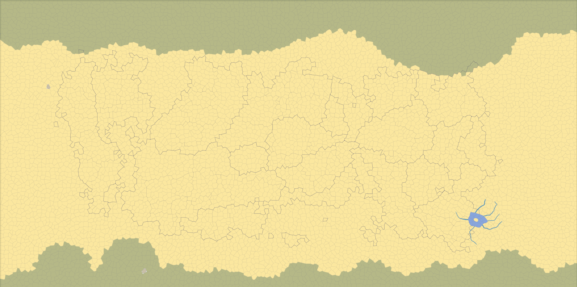
This desert world is less quirky than the other maps, but I added one lake with a few rivers extending from it, which form a hand, reaching out to the dry sands, as if welcoming others to this rich oasis. Sitting in the center of the lake is an island, which could be a small country. I added an underground lake as well, far away from the visible oasis.
This one is interesting as well. It's a world where the land mass is filled with so many rivers that traveling by small boat, rather than by car, is the more convenient form of everyday travel.
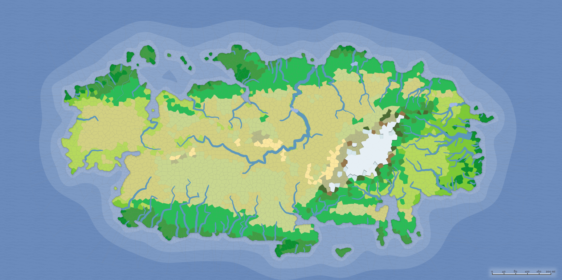
It's certainly a different kind of society! Store fronts, houses, even food stands, all riverside! Taxis, deliveries, etc, would be done predominantly by boat. Instead of learning how to ride a bike, kids might learn how to row a boat.
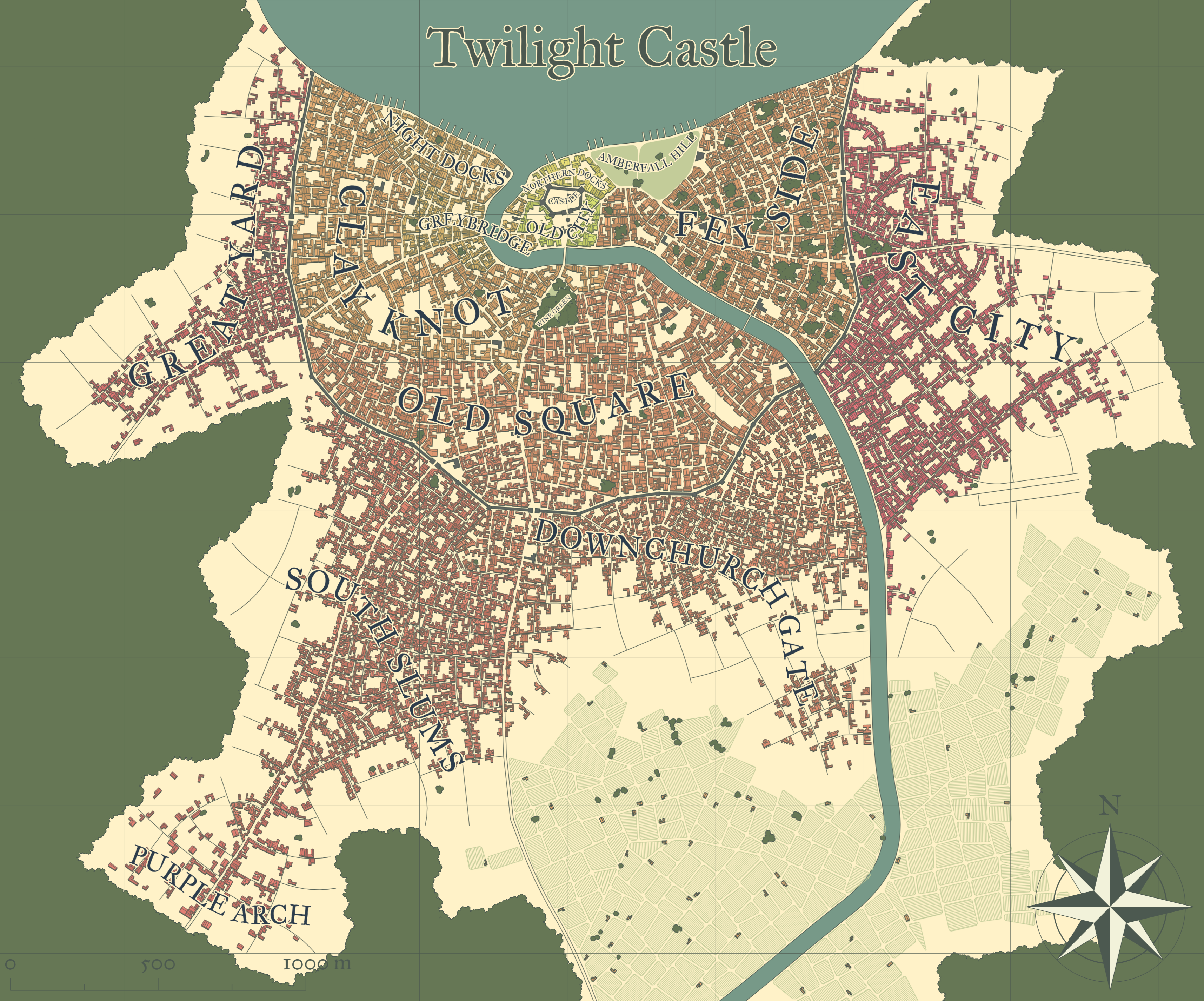
Now, for cities, I don't recall much freedom in the customization. You can increase or decrease the population, choose whether or not it has a castle, a citadel, a religious building, alleys, roads, whether the towers are circular or square, if there's a river running through it, trees, fields, farmland, shanty towns, names of the districts, etc. You can't control the placement of the houses, I think. The larger the population, the more houses there are. You can change the colors as you see fit. So, it can be made to seem more futuristic for cyberpunk settings as well. It comes with presets as well.
The classic black & white:
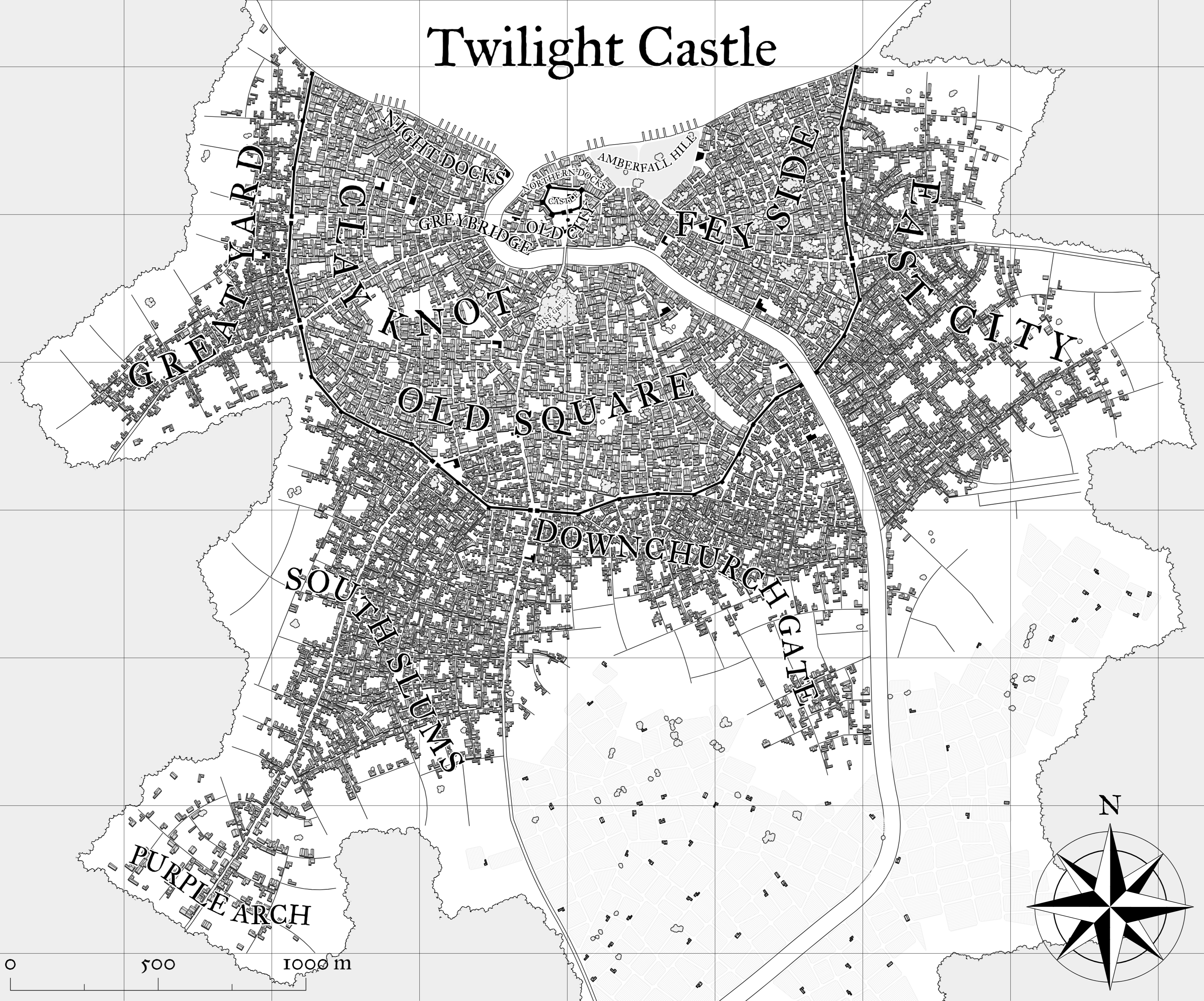
It's great for tabletop gaming.
The vivid preset really accentuates all of the different landmarks, buildings, and separates the districts, and whatnot:
This is an old preset they don't seem to have anymore, which I recreated from an old city map, Night!
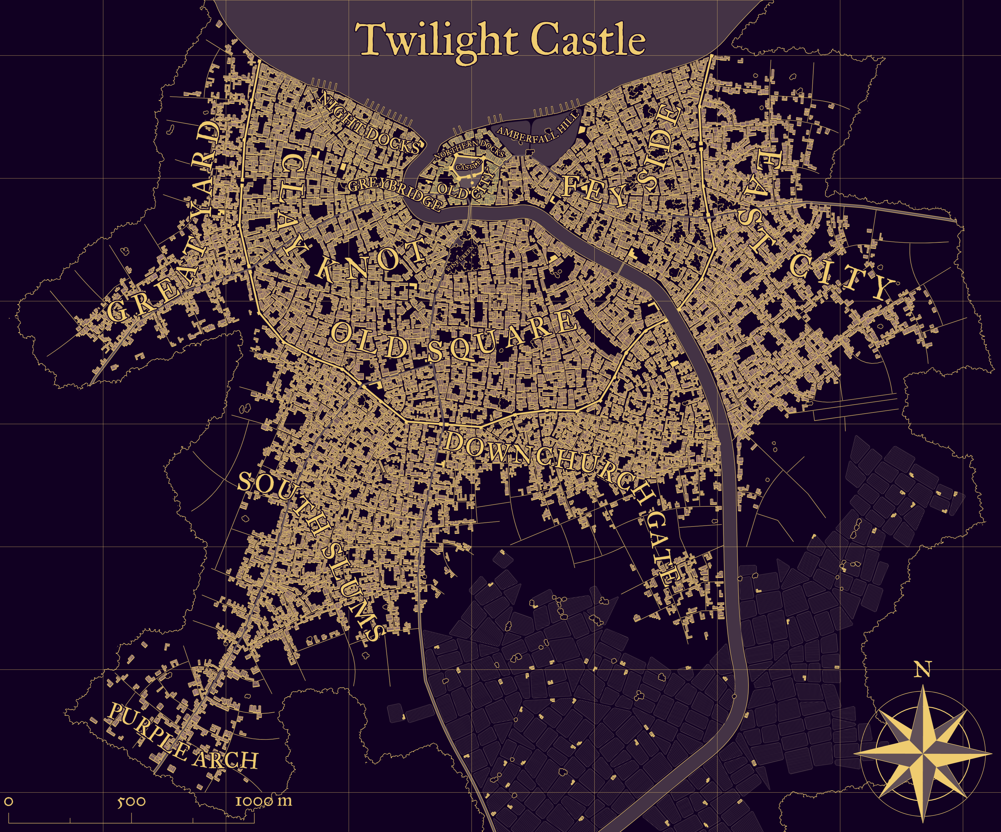
I think it looks pretty cool.
Anyone here use any other sources, or hand-draw maps?




 I love maps in fantasy - I run a TTRPG and I find it quite difficult to set the scene without one, be it a small town or a forest, the itch for the map struggles to leave me alone.